Products
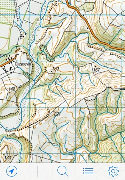
MapToaster Topo Maps for iPhone & iPadMapToaster for iPad and iPhone provides detailed reference maps wherever you go. The app is a free download from the Apple App Store, and includes a 1:250,000 scale topographical map of New Zealand.1:50,000 scale topo maps are available for in-app purchase and these include:
|
|
MapToaster Topo/NZ™ - Topographical Maps of NZ
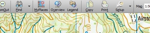
Developed by Integrated Mapping, MapToaster Topo/NZ is New Zealand's only topographical mapping package, with all the rich detail of the paper maps, 1:50,000 though 1:2 million scale maps, integrated aerial photography included as standard and easy-to-use software. more »
MapToaster Mobile/NZ™ - Topographical Maps of NZ
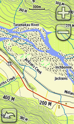
This product provides high-quality topographical mapping for use with Garmin™ handheld GPS units. Developed by Integrated Mapping Ltd, these maps closely follow the cartographic standards of the familiar Topo50 paper maps. more »
MapToaster NZTM - Coordinate Conversions
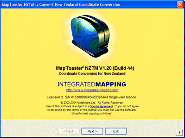
Easy to use software for converting MapInfo(tm) tables between NZMG the new NZ Geodetic Datum 2000 & NZ Transverse Mercator Projection. The latest release does bi-directional conversion between NZTM and NZMG and also can import Local Circuit data. Download the demo. more »
Map Series Generator
This add-on for MapInfo automatically generates and prints tiled map series such as planning maps, saving huge amounts of time. Contact us for more information.
NetMan - Linear Referencing
Automatically maps data that is located by offset from a start point. For example, you can take roading attribute data and create lines or points that correspond to offsets and lengths along a roadway. This software is an add-on for MapInfo. Contact us for more information.